
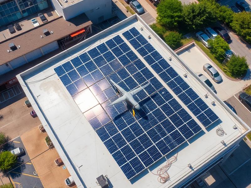
Solar Installers
Design-ready 3D roof models — straight into your PV software.
We help solar companies, construction firms, architects and roofing contractors make faster decisions through accurate aerial surveys, 3D models, roof measurements and inspection data.
500+
Commercial flights
32
Counties covered
48h
Standard turnaround
±15mm
Survey accuracy
We speak your workflow. Every deliverable is shaped to save time, reduce site visits and cut cost across your specific process.
Design-ready 3D roof models — straight into your PV software.
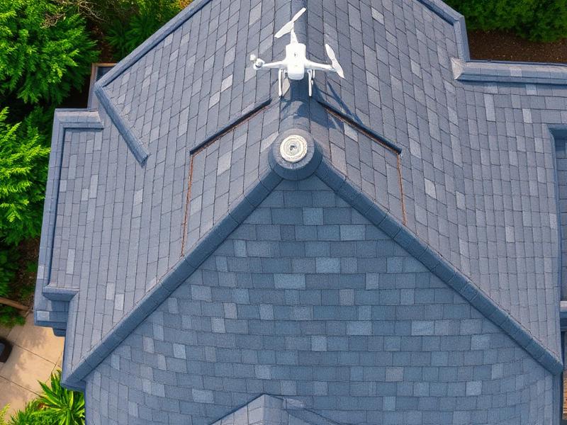
Pitch, area and defect data — quote from the office, not the ladder.
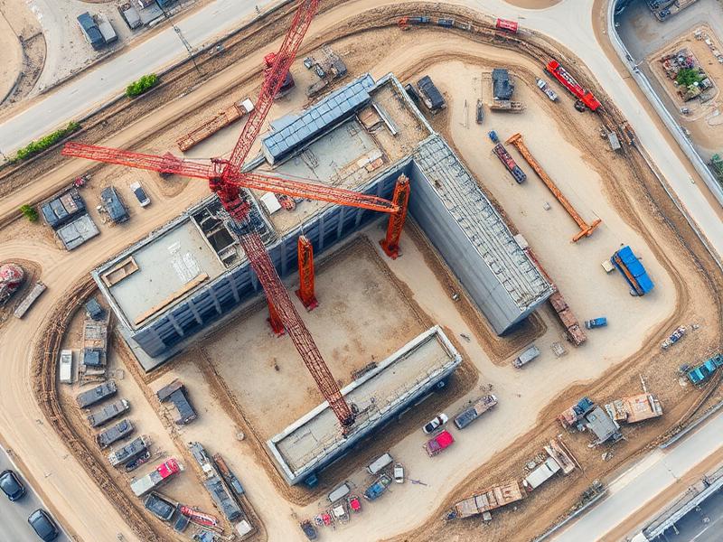
Weekly orthomosaics and 3D models that keep every stakeholder aligned.
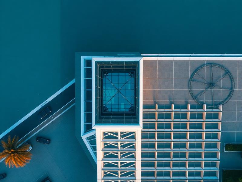
Existing-condition surveys and 3D context — design against reality.
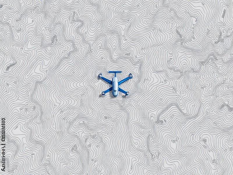
Survey-grade point clouds, contours and DEMs with ground control.
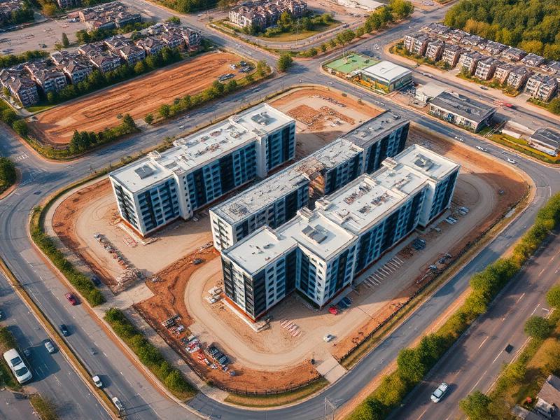
Investor reporting, marketing imagery and feasibility data — one supplier.
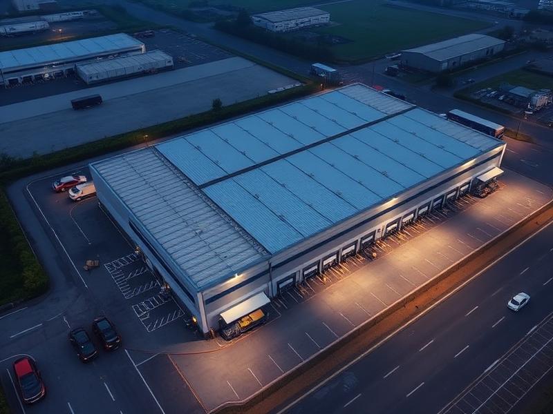
Portfolio-wide inspection evidence — no lifts, scaffolding or shutdowns.
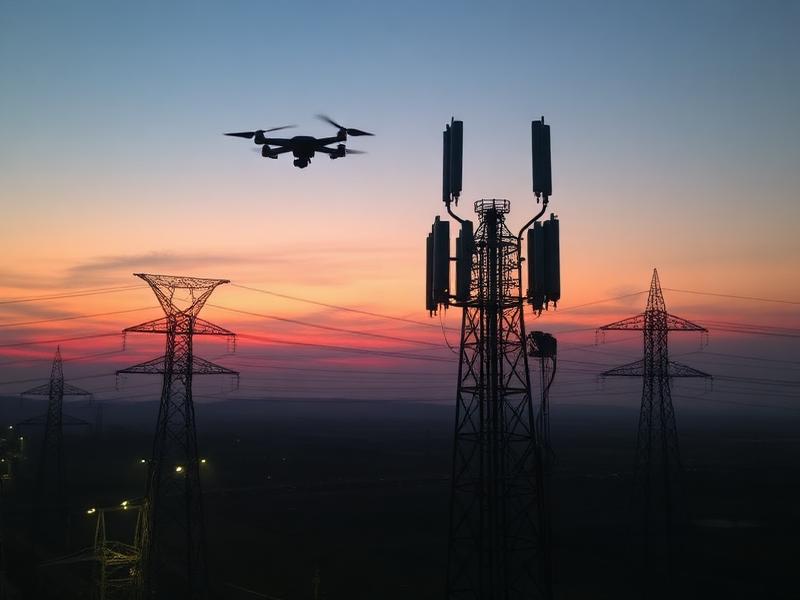
Inspection and mapping for roads, pylons, telecoms and utilities.
We sell data, measurements and decisions — not aerial shots. Every engagement is built around your commercial return.
One flight replaces multiple site trips. Measure, inspect and document in a single mobilisation.
Design-ready deliverables land in your CAD or PV software the same week — often the next day.
Eliminate working-at-height risk. No scaffolding, no cherry pickers, no roof walks.
Ground control and survey-grade workflows deliver dependable, repeatable measurements.
Standard deliverables within 48–72 hours. Rush processing available for time-critical work.
Operations across the Republic of Ireland — Dublin, Cork, Galway, Limerick and beyond.
Branded, structured PDF reports — ready to share with clients, insurers and design teams.
DJI Matrice-class enterprise platforms with survey-grade payloads and full redundancy.
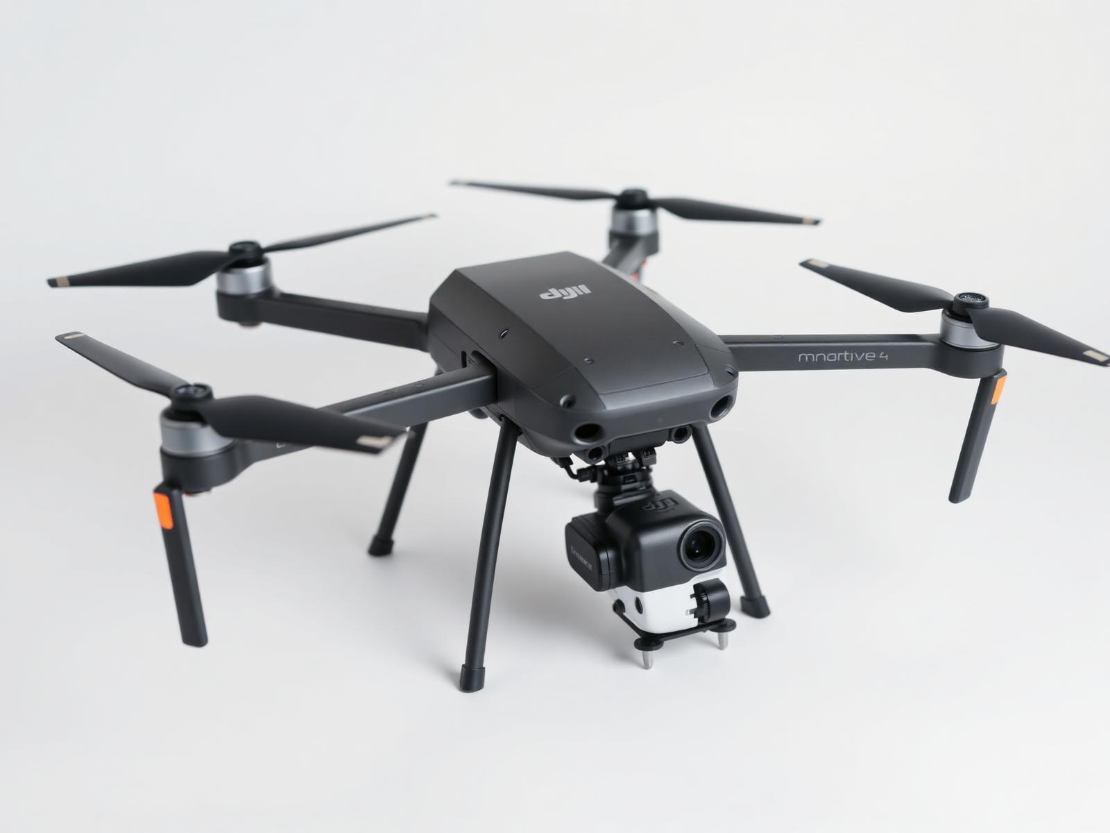
We operate a fleet of enterprise-class DJI Matrice platforms with survey-grade payloads, RTK positioning and full mission redundancy — the same equipment used by national infrastructure operators.
Up to 100MP
Photogrammetric
±15mm w/ GCP
PPK / RTK
Full pipeline
1cm/px capable
A cross-section of recent commercial work — surveys, models and inspections delivered into live design and construction workflows.
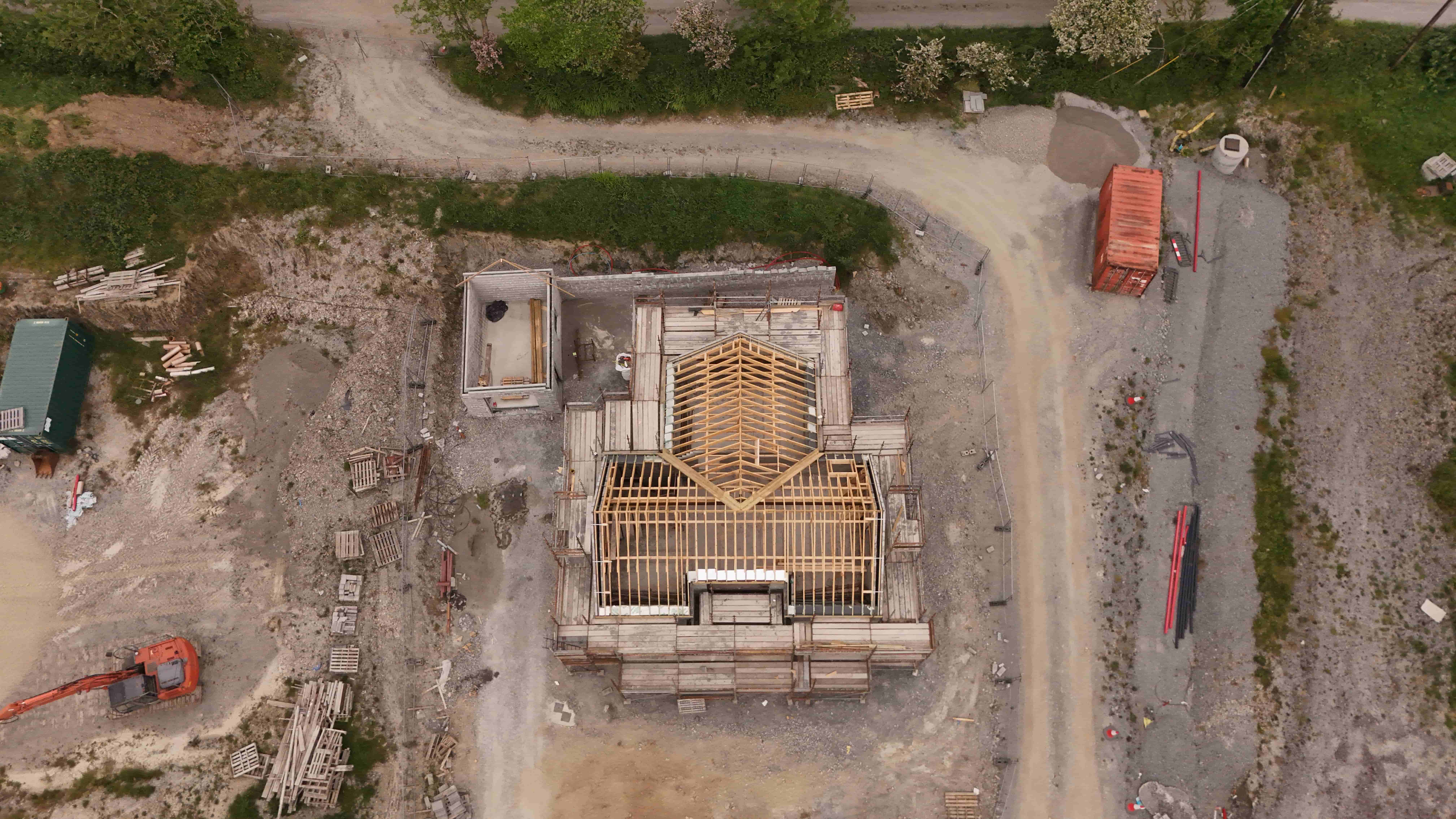
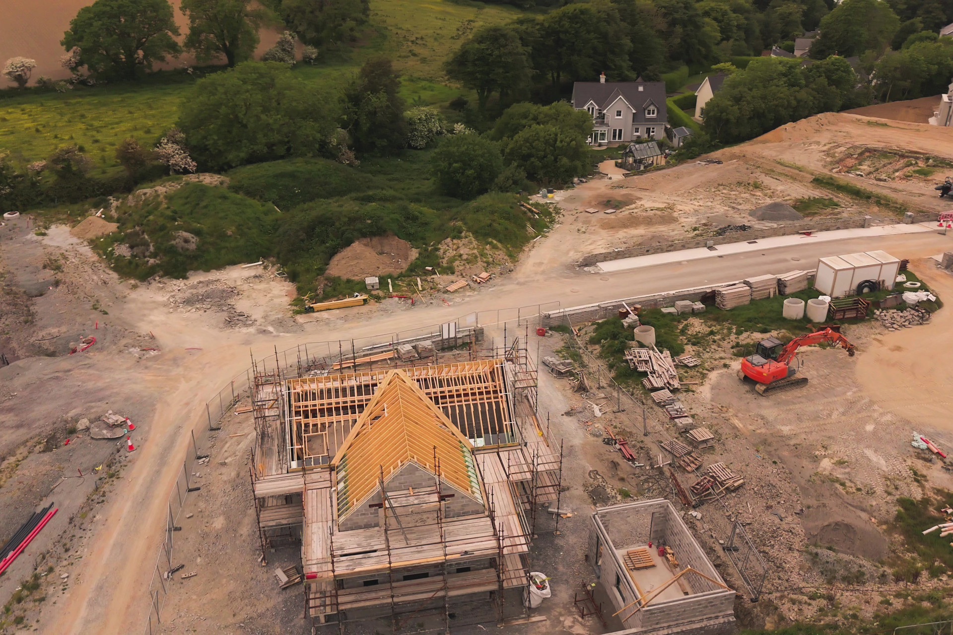
Track and monitor construction progress
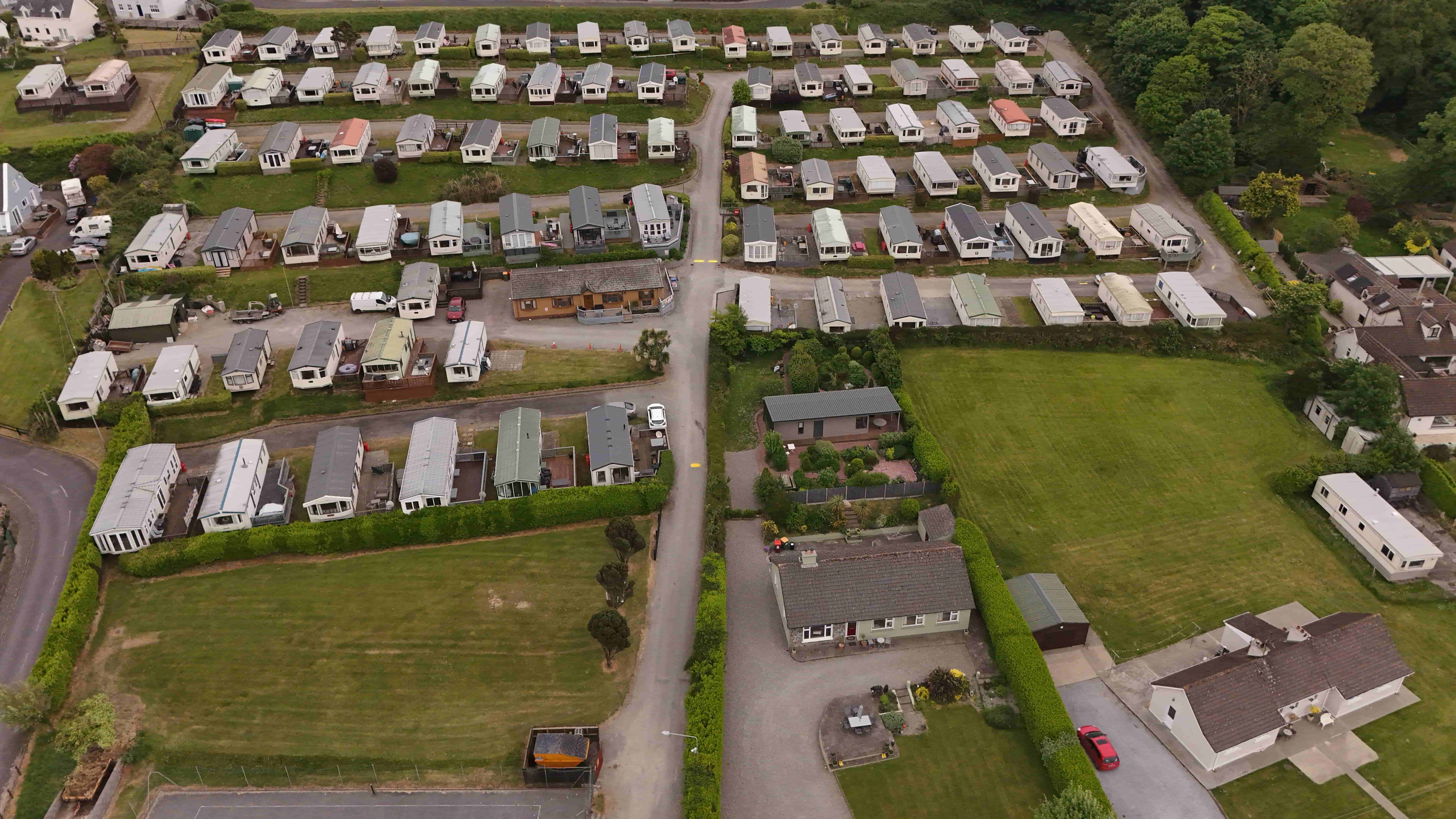
Compelling aerial imagery for clients & investors
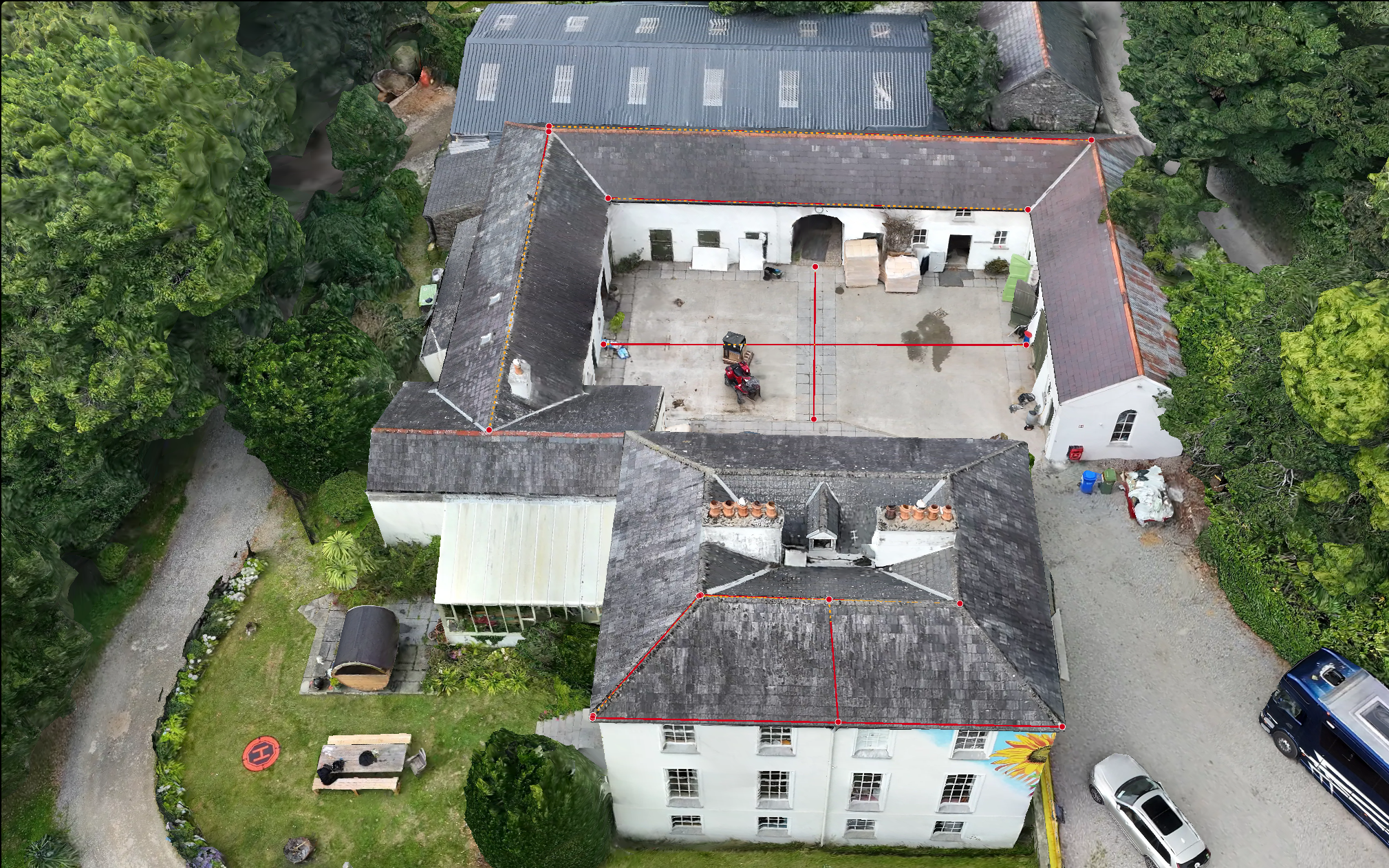
Detail-rich aerial photos rendered into a full 3D model
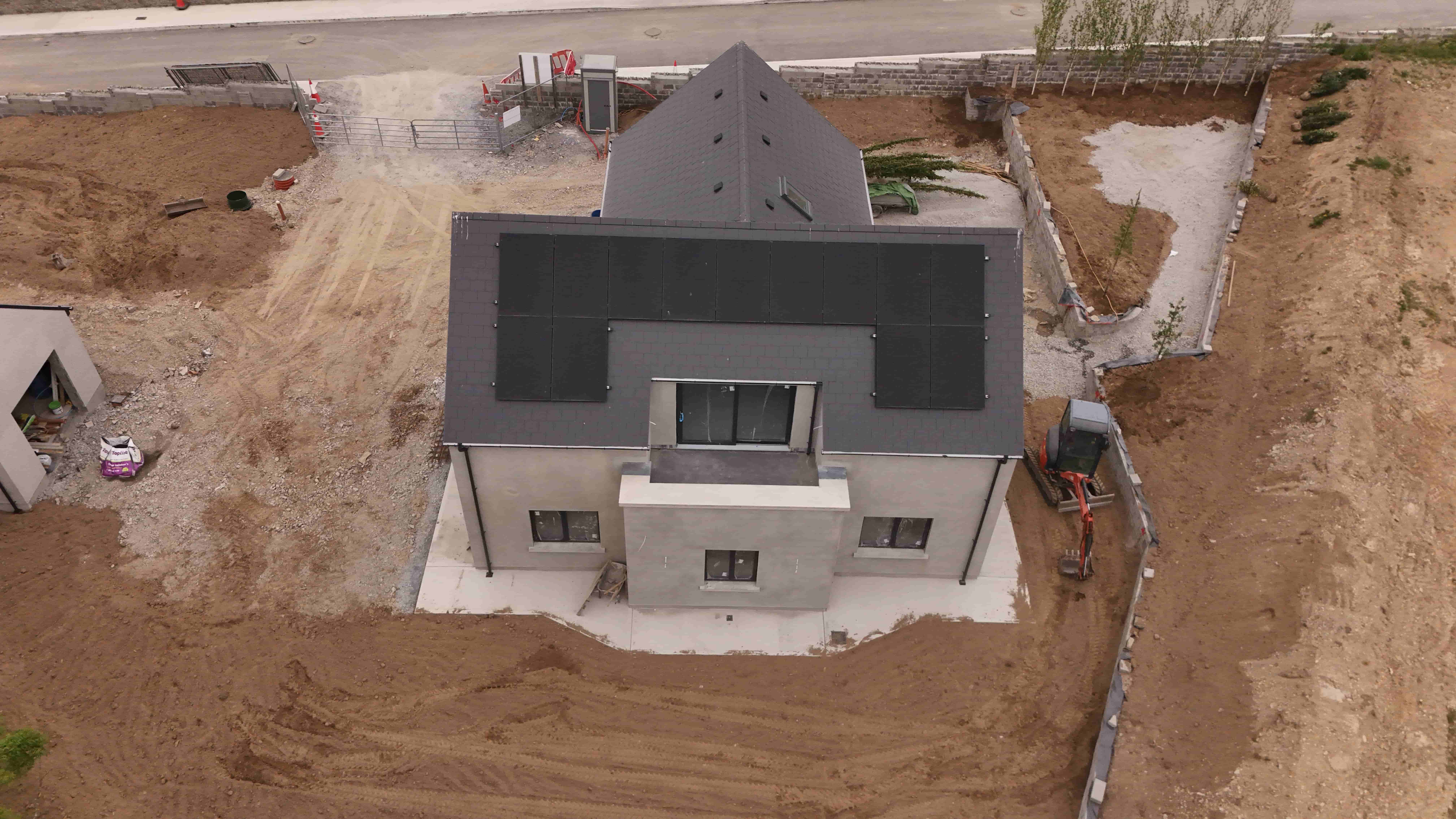
Click-worthy aerial imagery for listings
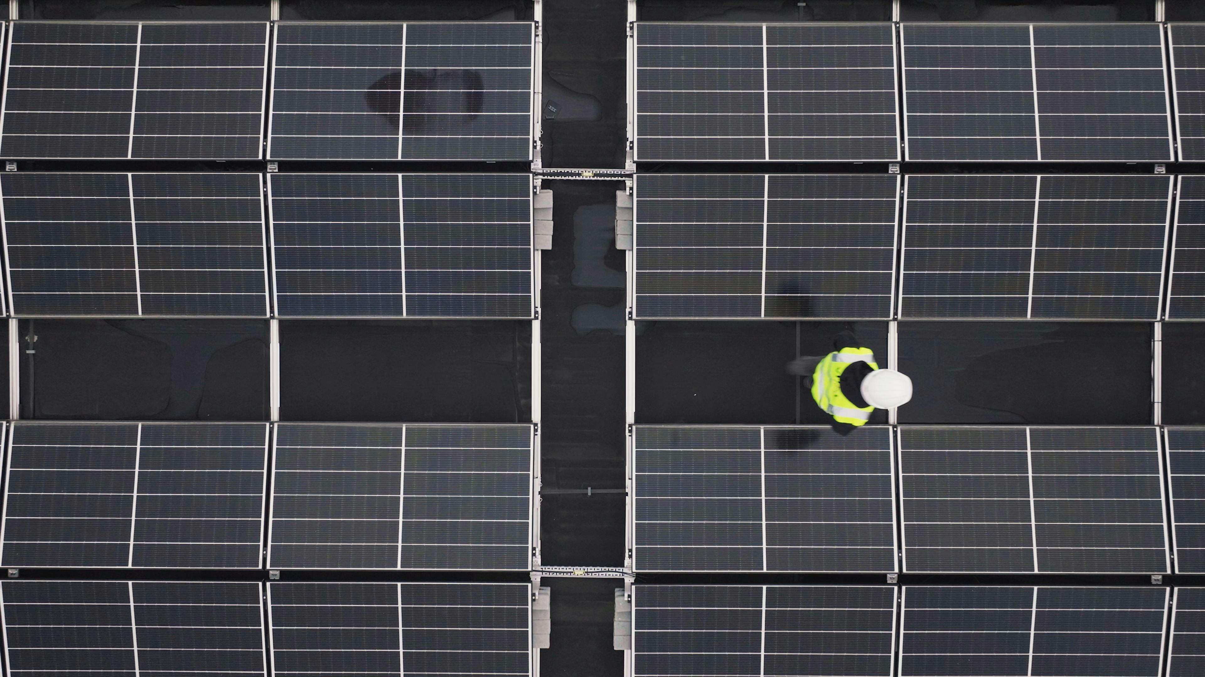
Detail-rich aerial photos for actionable decisions
Challenge
Design team needed accurate roof geometry for a 3.2MW rooftop PV project — without a manual roof survey.
Our solution
Outcome
Design completed in half the usual time. Zero site revisits. Quotation issued within 48 hours.
Challenge
€180m mixed-use development required transparent monthly progress reporting for investors and PMO.
Our solution
Outcome
Single source of truth across investors, design team and site. Disputes and RFIs dropped by 40%.
Every project follows the same six-step process — engineered for speed, accuracy and stakeholder confidence.
Scope, deliverables and site conditions confirmed within one working day.
Flight planned around weather, airspace and site access. NOTAMs filed where required.
On-site capture with enterprise DJI hardware and ground control where accuracy demands it.
Photogrammetric and GIS processing pipelines produce ortho, mesh, point cloud and reports.
Deliverables shared via secure link — CAD, PDF, GeoTIFF, DXF or 3D web viewer.
Ongoing support and revision cycles. Repeat capture for progress monitoring where required.
“DroneZone Ireland consistently delivers accurate roof models that integrate seamlessly into our design workflow. It's cut our survey time by more than half.”
Design Lead
National Solar Installer
“The monthly orthomosaics have become the single source of truth on our development. Our investors ask for the drone report before anything else.”
Development Manager
Commercial Developer
“Professional, punctual and technically sharp. The deliverables land in the format we specified — every time.”
Principal Engineer
Consulting Engineers
Something we haven't covered? Ask a technical question →
Tell us the site, the deliverables and the deadline. We'll come back within one working day with pricing, timeline and a technical approach.