
Industries

Enterprise drone data, shaped for your industry.

Every industry has its own workflow, tolerances and stakeholders. Here's exactly how we save time and cost across each of ours.

Solar Installers

Solar Installers

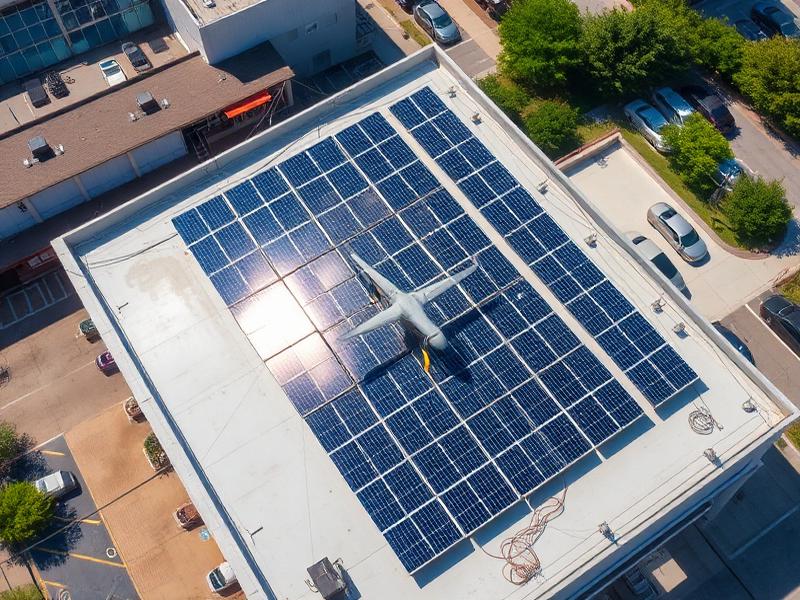
Design-ready 3D roof models — straight into your PV software.
  • Skip manual roof measures
  • Faster quotations
  • Accurate panel layouts
  • Reduce revisit costs
Roofing Contractors

Roofing Contractors

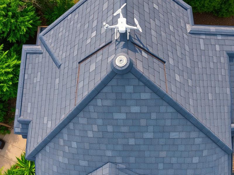
Pitch, area and defect data — quote from the office, not the ladder.
  • Safer than roof access
  • Precise material take-offs
  • Faster site quoting
  • Insurance-grade evidence
Construction

Construction

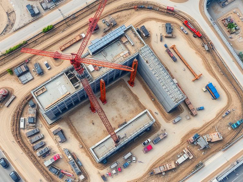
Weekly orthomosaics and 3D models that keep every stakeholder aligned.

  • Progress transparency
  • Reduced site visits
  • Dispute-proof records
  • BIM-ready outputs
Architects

Architects

Existing-condition surveys and 3D context — design against reality.
  • Existing-condition models
  • Contextual imagery
  • Planning-ready visuals
  • Reduced fieldwork
Engineering

Engineering

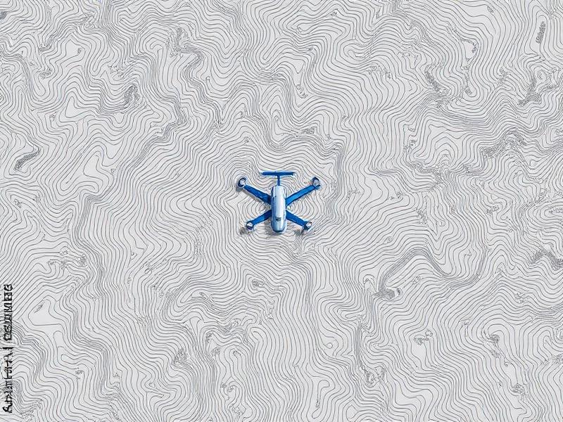
Survey-grade point clouds, contours and DEMs with ground control.
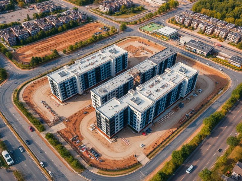
  • Ground-control accuracy
  • CAD-ready deliverables
  • Rapid mobilisation
  • Repeatable capture
Property Developers

Property Developers

Investor reporting, marketing imagery and feasibility data — one supplier.
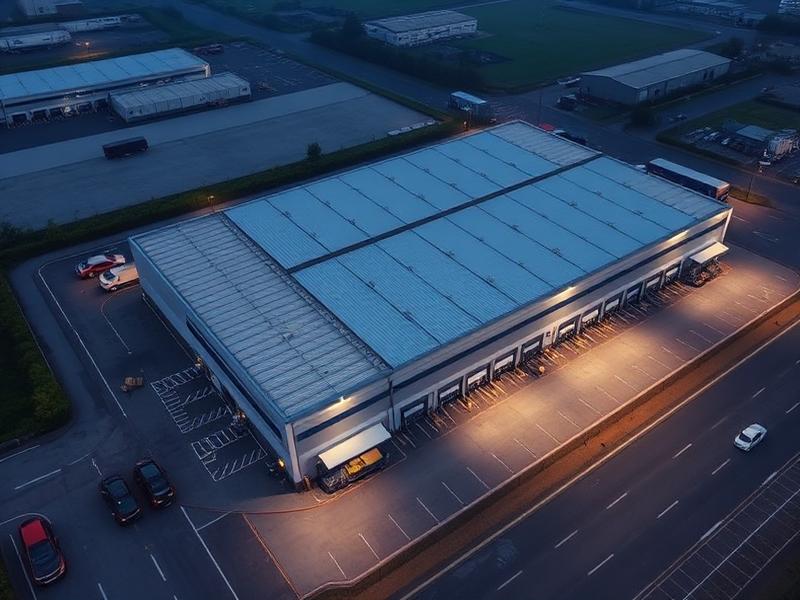
  • Investor reporting
  • Marketing assets
  • Feasibility surveys
  • Nationwide coverage
Commercial Property

Commercial Property

Portfolio-wide inspection evidence — no lifts, scaffolding or shutdowns.

  • Portfolio inspections
  • Maintenance planning
  • Insurance evidence
  • Cost-effective at scale
Infrastructure

Infrastructure

Inspection and mapping for roads, pylons, telecoms and utilities.

  • Access without shutdowns
  • Repeatable inspection
  • Thermal & RGB
  • Geo-referenced data
Ready when you are

Get a quote for your next survey.

Tell us the site, the deliverables and the deadline. We'll come back within one working day with pricing, timeline and a technical approach.